 Kottayam revenue division of Travancore state was formed in 1868, and it was one of the three revenue divisions of Travancore state. Later at the time of the integration of the states of Travancore and Cochin, Kottayam district was formed on the 1st January 1949. The total extent of the district is 2206 sq.km, which is 5.60% of state area. The district has two revenue divisions, five taluks and 100 villages. The two revenue divisions are Pala, comprising of Meenachil and Vaikom taluks and Kottayam, comprising of Kottayam, Kanjirapally and Changanaserry Taluks. There are 77 local self government institutions– 6 urban local bodies (Municipalities) and 71 rural local bodies (Grama panchayats).
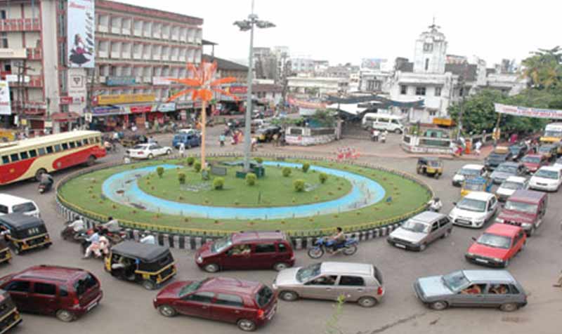
Kottayam ‘the land of letters, latex and lakes’ is located in the Central Travancore region of Kerala. The district is well-known for its panoramic backwater stretches, Vembanad Lake, paddy fields and hillocks. The city has a big contribution to print media and literature and hence rightfully referred as ‘Akshara nagari’ meaning ‘city of letters’. Kottayam got its name from the combination of the Malayalam words ‘kotta’ meaning ‘fort’ and ‘akam’ meaning ‘inside’; the literal meaning being ‘the interior of a fort’.
As per 2011 census, the population of the district is 1974551. The male population and female population are 968289 and 1006262 respectively; the sex ratio is 1039.The population growth rate for the last decade is 1.07 %. The Census 2011 records the number of households as 487296 with an average household size of 4.05. The average density of population is 895 persons/square kilometre. The literacy rate and work force participation ratio (WFPR) are 97.21% and 37.26% respectively.
1,423 Thoughts on “Kottayam”
Comments are closed.